Texas

Hydraulic fracturing was first used in Texas in the 1950s, but the state does not track wells that use the practice. In 2021, the state government halted the issuing of hydraulic fracturing permits after the practice was linked to an increase in earthquakes.
FracTracker Data Folder Contents

FracTracker provides state-specific data on issues such as:

  • Locations of oil and gas facilities
  • Pipelines and processor locations
  • Production amount of oil and gas generated 
  • Amounts of waste generated from oil and gas

The data folders may also contain information on other energy generation locations, data from different years, and data on violations committed by oil and gas facilities. Amount of information and types of information will vary by state. Get data.

More Data Sources

A significant amount of oil and gas data is available for purchase from the TX Railroad Commission.

Recommended Citation

If you are planning to use the maps or information from our site, here is how we request that you cite this content:

(Title). (Date Posted). (Mapped/provided) by FracTracker Alliance on FracTracker.org.

Please include a link to the original data source if available. Most FracTracker maps are built on an Esri platform. If you have questions about how to cite our work, please email us at info@fractracker.org.

LATEST TEXAS ARTICLES

Pipeline Incidents Are a Daily Occurrence

Pipeline incidents are more common, more dangerous, and more underreported than you might realize. This articles investigates a critical infrastructure system plagued by daily disasters and raises serious questions about data integrity and public safety. Read on to discover the full extent of the problem.

East Palestine Train Derailment Waste: Community Impacts

/
As of March 10, 2023, 152,796 tons of liquid waste and 2,980 tons of solid waste have been removed from the site of the train derailment in East Palestine, Ohio, to three injection wells and four hazardous waste disposal sites in Ohio, Michigan, Indiana, and Texas.

Desalination: The Chemical Industry’s Demand for Water in Texas

Desalination facilities proposed by the petrochemical industry in Texas could significantly impact fragile Gulf Coast ecosystems.

Southeastern Texas Petrochemical Industry Needs 318 Billion Gallons of Water, but the US EPA Says Not So Fast

The US EPA is moving to turn off the tap to Texas’ petrochemical operators that are demanding exorbitant water quantities where there are none.

Infrastructure Networks in Texas

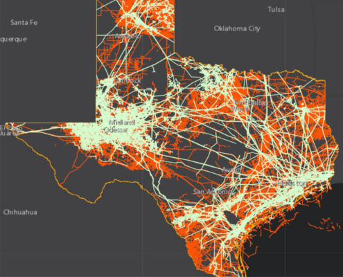
This map illustrates infrastructure networks in Texas and explores how these unseen webs connect us and improve lives, but also carry risks and burdens.

Mapping PFAS “Forever Chemicals” in Oil & Gas Operations

/
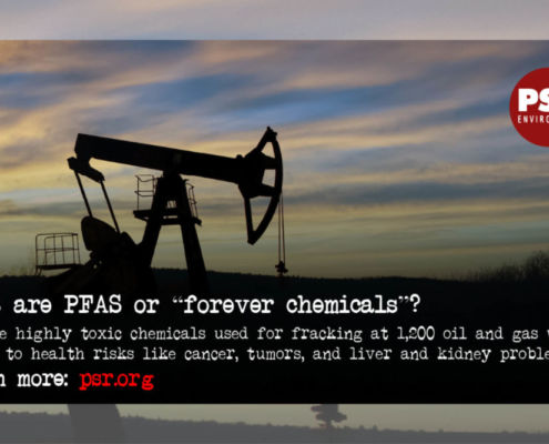
FracTracker Alliance released a new map identifying the locations of over 1,200 oil and gas wells using toxic “forever chemicals” in Arkansas, Louisiana, Oklahoma, New Mexico, Texas, and Wyoming. 

Mapping intersectionality: Empowering youth addressing plastics

VIEW MAP & DATA Overview A new collaboration between FracTracker…

Channels of Life: The Gulf Coast Buildout in Texas

It’s been a little over a year since I visited the Texas Gulf…
Foreign Trade Zone Sign Feature

Industry Targets Peaceful Protest via “Critical Infrastructure” Legislation

/
By Ted Auch, PhD, Great Lakes Program Coordinator and Shannon…

National Energy and Petrochemical Map

/
This map from FracTracker Alliance is filled with energy and petrochemical data. Explore the map, continue reading to learn more, and see how your state measures up!