Wyoming

The state of Wyoming does not track the number of wells which use hydraulic fracturing. While operators are required to disclose the chemicals used during hydraulic fracturing to the government, exceptions can be made to conceal these chemicals from the public.
FracTracker Data Folder Contents

FracTracker provides state-specific data on issues such as:

  • Locations of oil and gas facilities
  • Pipelines and processor locations
  • Production amount of oil and gas generated 
  • Amounts of waste generated from oil and gas

The data folders may also contain information on other energy generation locations, data from different years, and data on violations committed by oil and gas facilities. Amount of information and types of information will vary by state. Get data.

More Data Sources

Wyoming Oil and Gas Conservation Commission provides oil and gas data on wells, horizontal laterals (under the ground), and injection wells.

Recommended Citation

If you are planning to use the maps or information from our site, here is how we request that you cite this content:

(Title). (Date Posted). (Mapped/provided) by FracTracker Alliance on FracTracker.org.

Please include a link to the original data source if available. Most FracTracker maps are built on an Esri platform. If you have questions about how to cite our work, please email us at info@fractracker.org.

LATEST WYOMING ARTICLES

Mapping PFAS “Forever Chemicals” in Oil & Gas Operations

/
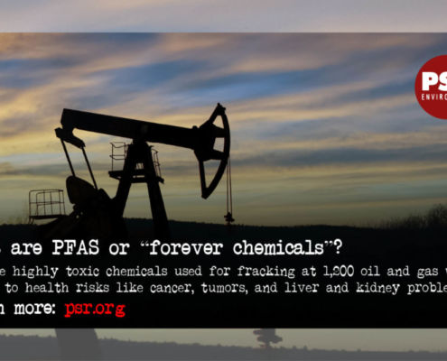
FracTracker Alliance released a new map identifying the locations of over 1,200 oil and gas wells using toxic “forever chemicals” in Arkansas, Louisiana, Oklahoma, New Mexico, Texas, and Wyoming. 

National Energy and Petrochemical Map

/
This map from FracTracker Alliance is filled with energy and petrochemical data. Explore the map, continue reading to learn more, and see how your state measures up!